Lake Toya is found about 100 minutes south of Sapporo by express train, and is mostly known for lake activities (camping, fishing, hiking) and its hot springs. In 2008, it was the host of the G8 summit, meeting in one of the luxury hotels found around the lake.
Most tourists will head to Toyako Onsen, a touristy hot spring resort town on the southern edge of the lake. It's the hub for most locations around the lake, including the bus to Toya Station (about 15 minutes). Of course, there are several luxury hotels here, with hot springs that anyone can use (for a fee). But it's also located at the foot of Mount Usu, a large, active volcano that most recently erupted in 2000 (the fourth time in the past 100 years).
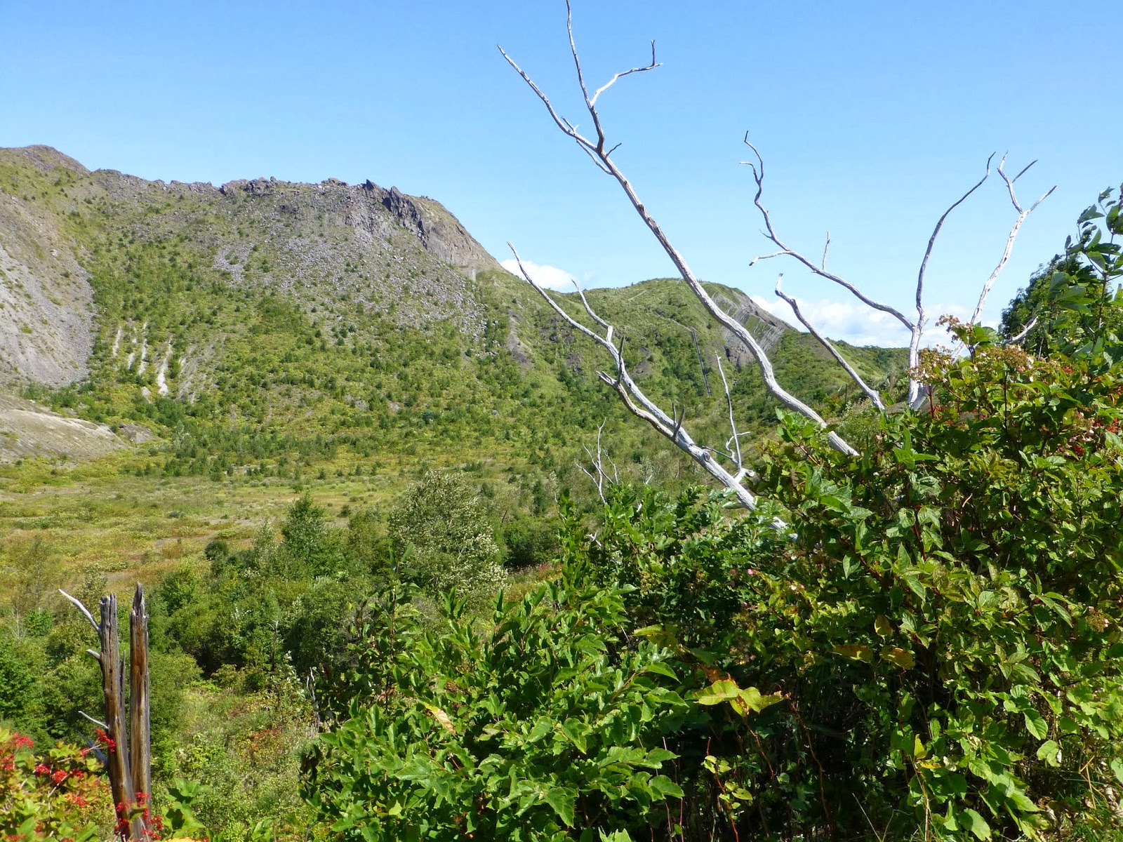
Right next to Mount Usu is one of Japan's newest mountains, Showa Shinzan. It formed very quickly from 1943-1945 (yes, during World War II) and is now about 290 meters tall. It's still venting sulfurous gas today, but it can be seen up close by taking a very-occasional bus to the Usuzan Ropeway. The Ropeway itself offers great views of Showa Shinzan.
Riding the cable car to the near-top of Mount Usu, you can also see nearby towns and Lake Toya.
During my visit, the skies were amazing. Just a couple days earlier, a major typhoon roared through Japan causing miserable weather for a couple days.
Toya itself is right next to a large bay at the tail of Sapporo. The bay is visible from the other side of the cable car.
Once you reach the top of the volcano, you can head right back down the mountain via the cable car. Or you can go left, and take a long hike around the southern rim of the volcano.
These craggy rocks at the top of the mountain remind me of Guts, the Nickelodeon game show. I believe this portion of Mount Usu is called Kompira-san.
The path is wide and paved at first. There are slopes and some steps leading to the next observation deck.
From the top of the cable car, the first part of the walk takes about 15 minutes.
You go up these steps on the way out, down on the way back.
From the Crater Basin Observation Deck area, you have a different view of Showa Shinzan.
The Kompira-san mountain and a crater can be seen from the observation deck, with Lake Toya behind it.
This is called Gin'numa Great Crater, and it has several craters of its own. Note the tiny building on the left edge of the photo. You'll see it later.
If you intend on continuing from here, you better be in shape. There are 600 steps down. That means 600 steps back up when you return.
The mountain continues to change; the trail between the Crater Basin Observation Deck and the Outer Rim Observation Deck opened in 2004, but there have been some landslides/mudslides since; one of those covered the bottom portion of the staircase.
The large crater looks pretty cool. It looks like there might be caves or at least enclaves in this smaller crater. The outer rim trail flattens out pretty quick, and you get a good view of the mountain and crater.
Not many people take the stairs, so you can see a lot on your own. The trail isn't empty by any means, but it's much quieter than the short paved start.
The outer rim trail isn't paved, but it's very obvious and well marked, with a minor exception at the bottom of the stairs. Don't worry, it's still easy to follow there as well.
I wonder if it's safe to hike or climb in the crater. I saw gas escaping along the long side of the crater, and I'm sure the soil isn't stable.
From the Crater Basin Observation Deck, it takes about an hour to get to the Usu Outer Rim Observation Deck. It's not much of a deck; there is some open space and nice views. About 10 minutes before reaching this observation deck, there is a split in the trail; heading down the mountain, you can get to the town of Usu. I'm not sure about access from that trailhead, other than there being a parking lot under the expressway.
There are bathrooms out here. One other solo hiker was resting on a log bench, and later on another couple showed up. This might be the only place in Japan without a vending machine, though, so bring lots of water!
Looking out across the bay, the peninsula that Hakodate is on can be seen. At this height, it was possible to see the base of the clouds, something I rarely get to enjoy.
I wasn't quite sure I would make it back to the ropeway on time. There are only four buses a day; I was on the first one out and I had about three hours to catch my return bus. I finished the two-hour round trip hike plus the round-trip cable car ride with about thirty minutes to spare. If you've never walked 600 steps down and 600 steps up, let me tell you: it is tough. I was fully expecting to miss my bus and have to cancel my afternoon plans. But with a little free time, I enjoyed some roasted corn and picked up a couple gifts from the small town of souvenir shops and restaurants found at the base of the cable car before I caught the bus back to Toyako Onsen.

As I mentioned, buses run four times a day (330 yen, 15 minutes) from Toyako Onsen to the bottom of the cable car line (only late April to mid October). The schedule is doable, but taxis to/from Toyako Onsen are a possibility (about 2000 yen), especially for groups. In 2013, buses to Usu left Toyako around 10:00, 12:30, and 14:30, and usable return buses were around 13:00, 15:00, and 16:20.
There are a bunch of shops in the parking lot there, serving food and selling omiyage (souvenir gifts). Going on a decidedly off-peak day, the shop clerks were happy to offer me a small discount off the regular price without me even asking.
The ropeway (cable car) runs from 9 AM until 4 PM (later in the summer), closing for maintenance in the winter for a few weeks. The round trip cost is 1450 yen.
Those really into hiking can do the out-and-back at Mount Usu in the morning, and head to the West Crater in the afternoon. I'll be writing about that in my next post.


Nice pics. We re going there tomorrow. How long r the hikes?
ReplyDeleteThe hike at the top of the volcano was a couple hours, give or take. If you just do the basic out-and back to the top viewing area, it's much less - 30 minutes perhaps.
ReplyDeleteWalking to Usu is another story. I don't know for sure. I do know there is a visitors center in town with lots of maps in English for hiking on and around the volcano. I recommend stopping there first. I believe it was on the second floor of the bus station.
If you like hiking it's possible to hike the outer rim trail until the end without doubling back. Near the end you will find a downward path. Heading down the path you will reach a road eventually reaching Usu station. Check the times of the trains before you do this as not many stop here.
ReplyDeleteWe walked out of Lake Toya to the bottom of Mt Usu (it's north side) where workman were doing some work around where there van was parked. Then we climbed quickly up a steep slope, the workmen were shouting at us (probably that this wasn't allowed) but we continued, nobody followed us, and after a while got to the top of Mt Usu, which we had all to ourselves, walked around for hours in the amazing landscape, and in the evening we found a way down on the west side of the mountain. This was in 1993.
ReplyDelete