The northernmost of the three islands accessible from Matsushima town, Fukuura-jima sits about a quarter kilometer from the shore. After paying a small admission fee to cross the bridge, my friend and I started the long walk across the water. This bridge was damaged in the tsunami, but reopened very quickly. (As a side note, I find it interesting that this long bridge could be repaired/replaced in a very short time, while the short bridge at Oshima took two years to be fixed. Obviously, the income from the bridge toll certainly helped this one get open.)
The bridge offers some good views of the other islands, nearby hills, and the town of Matsushima. I believe these two are Futagojima.
A little further north, there is yet another island that's connected to the main land, this time by a pile of rocks. That island isn't developed for tourism or inhabited at all, as far as I can tell.
Like Oshima, Fukuura has some small "cliffs" and interesting features due to weathering. These small rocks with their own tiny trees were pretty cool.
Here's another angle of the rocks and the island's cliff.
Once you reach the island, you're greeted b a small beach in a cove.
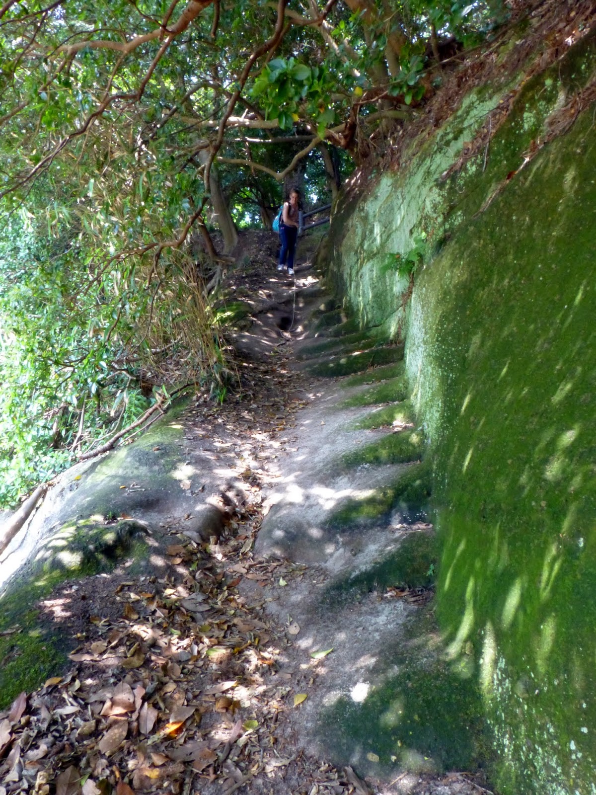
The path here is paved.
I'm not sure when the boat got here, but it's been left behind and is now full of water.
Looking back across the bay at the bridge and Matsushima.
Here's the boat and a small peninsula of sorts.
While there's one main trail that forms a loop around the island, there are some small paths that branch off. Fukuura has two large peninsulas to the north, one small one to the west (mentioned above), and two medium sized peninsulas to the south. The trail above goes all the way out the northwestern peninsula.
There is some interesting moss growing out here.
Following the trail will give hikers a good view back to Matsushima, and I'm sure this is a picture most people don't take.
Look in the crevices! There are bugs in that tree!
The tree itself is pretty awesome too; look at it sideways and it's an alien face!
Another split tree nearby has its rings showing in an interesting way.
This is a different angle of the two islands seen in the second photo of this post.
Being August, it was humid and hazy (not as bad as Tokyo) so distance photography was tough. There is a seagull and a boat framing the largest island in the photo above.
Another random path. Where does it go?
I found a temple! This is Bentendo.
Is that a pine cone dragon on the top?
To get the most of Fukuura, it's important to follow the small paths.
I saw an unmarked set of stone steps on the south side of the island.
Down here were a couple nice caves...
And a nice beach! It's not exactly isolated, but most visitors don't make it down here. I think this is the nicest beach on Fukuura, although the one on the northeast side was pretty good too.
There is life on the beach! I found this guy and some shells perfect for the picking. Not very big shells, mind you.
The rock that juts out at the eastern side of the beach forms one of the two peninsulas on the south side; the second, larger peninsula forms a small bay and another beach on the other side of this hill.
And there was an abandoned pair of fishing waders off to the side. I didn't do anything with those; maybe the fisherman (crab or clam farmer?) will be back in a few hours to check his catch. Then again, there were leaves and stuff that made it look like they haven't moved in quite some time.
The island has a lot to offer; beaches, hills, forest, waterfront, and field hiking.
Continuing around the eastern side of the island, I can see more islands.
This small islet is the closest one to Fukuura. I'm sure you could just walk across the water, though I don't know how deep it is. Given the water level on the island's rocks, it looks like I took this picture at low tide. This is from the large beach that wraps around the entire northeast side of the island.
I'm sure amateur geologists would have a field day at this island. I'm trying to remember my earth science...
I believe this is Yake Island or Kuno Island. Those two are the closest large island to Fukuura, on the east side.
It's times like these I wish I had a small boat to paddle over to the other islands.
This is the southeastern peninsula. It's the third-longest, though that's not saying much. It's quite photogenic though!
And this is the northeastern peninsula; it sits almost in the middle of the northern end of the island. Like the northwestern peninsula, it's long and narrow. There is a mud flat of sorts at the beach next to it when the tide is out. The peninsula is longer on the western side.
In the valley between the two peninsulas, a grassy lawn and some nice trees have been planted. This is a nice place to have a picnic, and there are chairs and tables where it's nice to sit and relax. The beach next to this is off-limits, serving as a wetland of sorts. It's at a well-sheltered bay between the two northern peninsulas.
This grassy area has a few garden areas with flowers and bushes; they had a sunflower patch with six foot tall sunflowers in full bloom!
Fukuura-jima is accessed from a bridge on the north side of Matsushima town, and the bridge toll is 200 yen (you pay when you enter from Matsushima). The entire island can easily be walked in an hour, although avid photographers and picnickers will stay longer. It's open from 8:00-17:00 (16:30 November through February).


No comments:
Post a Comment