I'm not sure if there are any other places in the world that allow visitors to see the destruction caused by a volcano so close up. The March and April 2000 eruption of Mount Usu created about 60 new craters on the mountain. The changes in the landscape and smoke thrown high into the air caused a lot of damage to buildings and roads. A pair of hiking trails travels past the ruins.
Leaving from Toyako Onsen, the Kompirayama Walking Trail leads to the Nishiyama parking lot, heading up and over the hill. Usu is unique in that its eruptions don't seem to cause a lot of lava flow, but they do change the landscape drastically.
Yesterday's post showed you Showa Shinzan, a mountain formed in the 1940s.
The start of the trail goes through a former area of the resort town; some buildings have been left for visitors to see what happened.
This large building was part of an apartment complex. There's also a public bath house and bridge.
A lot of the damage on this side of the mountain was caused by erosion; landslides ran down the mountain, washing out the bridge and partially burying the existing buildings.
The first building you approach is the hot spring. The trail leads around most of it, and you can see how high the mud filled in.
The building is abandoned, of course, and quite overgrown, but surprisingly intact.
The window-filled entrance way or lounge (not sure which), which faced the mountain, fared the worst. The windows are gone, the mud having ran into the building and pushing out the furniture.
Over the past 13+ years, normal erosion has washed away some of the mud around the building, but a lot remains inside.
The buildings are very accessible. The trail goes right next to them! I'm sure going inside wouldn't be a good idea, though.
Even without going into the building, this lower level with lockers can be seen.
I wonder if there are drinks remaining in that vending machine.
An open door lends a small look at the shoe cubbies.
This might be the normal entrance to the spa. It's a little tough to get in now, and you can see how high the mud washed up the building's facade.
Continuing on, you get a glimpse of the bridge. It was washed down toward the lake a good ways before it came to rest in its current location.
Now, the apartment building. It, too, is easily accessed on the trail.
I'm curious if people do go in the building. I was very tempted to explore but I could see inside through some broken windows anyway.
Peaking in to an apartment. The place is empty now.
I should note at this point that despite all the destruction, nobody was killed in the 2000 eruption due to the early warning system.
The hill of mud pushes up against the building. The entire first floor and most of the second is buried here. Damage to the railing was caused by flying rocks.
Many of these windows were broken by the eruption, though I'm sure some must have been damaged by vandals.
Having completed my trip around the apartment building, I saw the other side of the bridge. The hot spring resort can be seen behind it, with a hint of Lake Toya on the left.
You can enlarge my photo of this sign to see what the area looked like after the mudflow.
Apparently the roof has several holes due to the eruption. There's a tour group of elementary school kids in the bottom-left of the photo.
There was an eruption in 1977 which led to the creation of embankments to catch the mud should it happen again. It was fairly successful, but improvements after the 2000 eruption are much larger; the entire area is now uninhabited.
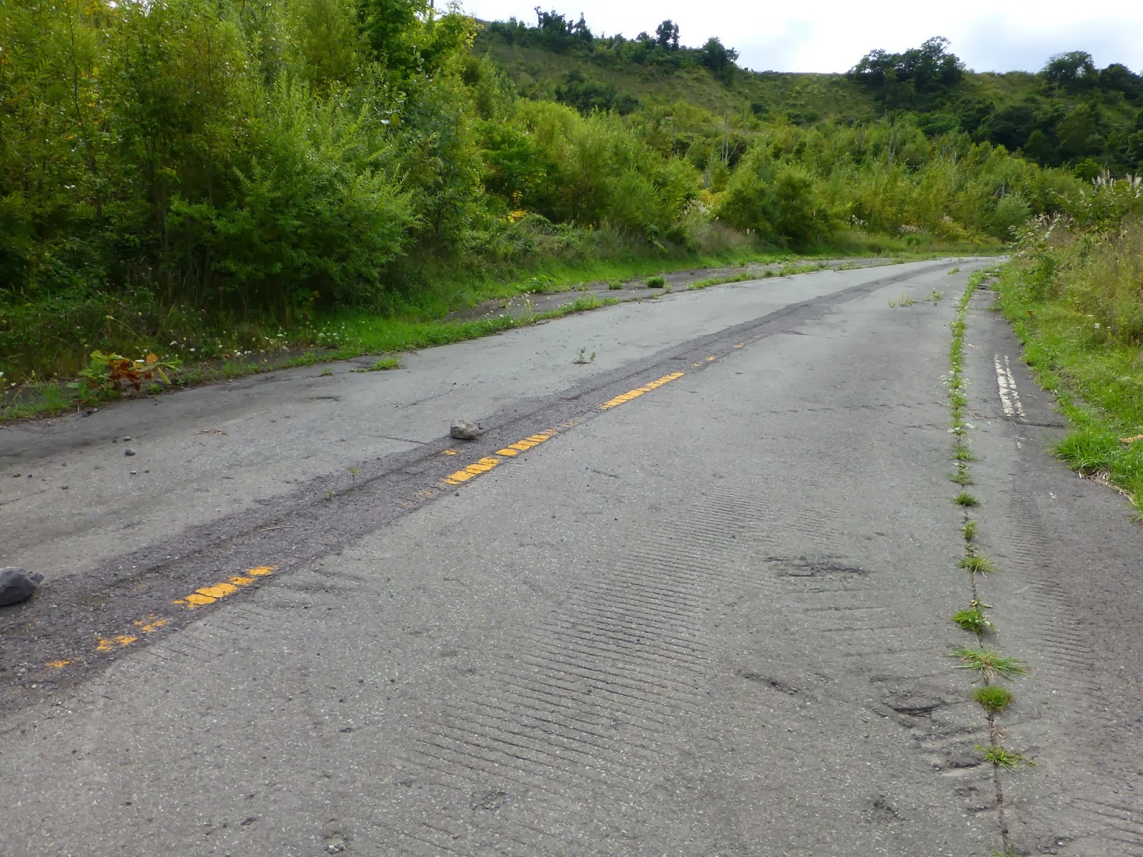
The trail leads over and around some of the embankments until you reach old Highway 230, which has since been moved just a little farther away from the mountain.
From the old road, you follow a trail up and over the mountain. There are additional signs telling hikers about the area. Watch out for small side paths; the one that looks like this is the most-worth taking.
Climbing up to the edge, you can see one of the largest and most beautiful craters. I was quite surprised at how blue the water was. There is a fence before the drop into the small lake. I'm not sure it would be easy to climb back out if you went in there.
Several of the mud walls can be seen if you turn back toward Lake Toya. Despite having hiked for over two hours already before this hike, I continued to be amazed by the views.
Once you get near the top, the path joins an access road. An abandoned factory of some kind is collapsing next to the road.
A little further down, another abandoned building has a couple old vehicles parked out front. Continue down the road...
This is the back of a building that marks the end of the Kompirayama trail, in Nishiyama.
You're greeted by a nice lake. But pay close attention to that lake.
Another road leads right into it. The road led straight up the mountain back to the town of Toya. This town is essentially abandoned, although some of the buildings are now stores, food stands, or restaurants for tourists. There are lots of tourists here, especially tour groups.
The road and power lines poke up back on the other side of the lake. This area has a crater, while nearby a new hill formed during the eruptions.
Starting from the disappearing road, you're now on the Nishiyama Crater Walking Trail. It leads up the new hill past more destroyed houses, leading to an abandoned elementary school.
The bus stops right in front of this building, on the left hand side, where the parking lot used to be.
The building is abandoned, as it sits at the edge of the new lake. Sign posts, power lines, and other things poke out of the water.
For this part of the journey, the trail is paved; those small food stands can be seen on the right.
It looks like a small crater formed somewhere right around this building.
Eventually, you rejoin the road. The uplift created a terraced effect.
There are a few observation areas at the top of the hill.
Continuing from the boardwalk, the trail gets a little rough and mostly follows the road, passing several ruins.
A random hill formed in the middle of the road.
Abandoned car.
Eventually you reach the end of the trail, greeted by an open field that used to be an elementary school playground.
An old bus, abandoned in the field. I wonder if this was used as a school bus until the eruption.
There is a lot of damage to the building; jets of smoke and debris launched rocks into the air, and the school was pretty close to the action.
A little bit of deformation happened here, too - the pool is off balance.
This slide will bring no more children joy.
It's possible to walk around the building here and peek inside some of the windows.
Surprisingly, many of the windows remain intact.
The multi-purpose room didn't fare so well. The ceiling is riddled with holes from falling rocks, which also destroyed the ceiling.
Here's the front entrance to the school. The sign says Touyakoyouchien, which means Toyako Kindergarten.
The art on the front of the building can still be seen.
The bus might have been in use in 2000, but now the seats are gone and a bunch of trash is tossed inside.
Where's the road? This sign pokes up out of the grass. From the kindergarten, you can return back up the mountain to the start of the trail. There is a parking lot at the kindergarten, too, but the bus doesn't stop on this side of the trail. It is also possible to walk from this point to Toya Station, another 30 minutes (3 kilometers). It is probably all down hill from the kindergarten to Toya.
The bus from Toya Station to Toyako Onsen also stops at the start of the Nishiyama Crater Trail, and runs about once per hour in each direction. The trails are open from 9 AM to 6 PM, closing at 5 PM in October and early November; they are closed from early November to mid April. Admission is free. Be sure to pick up - and study - a map before taking the trip and during your hike on the Kompirayama Walking Trail. The Nishiyama trail is pretty simple to follow.


I have no idea why... but I've always been fascinated with deserted towns. I even watch videos on YouTube about these places. Great post.
ReplyDeletehi! i will visiting this trail in end june. may i know what should the clothing be like? will shorts and normal walking shoes be appropriate for this trail? Thank you!
ReplyDeleteActually, given Hokkaido's weather in June, shorts might not be a good idea unless you like cold weather. I worked up a bit of a sweat in early September during the day, but it's cool now. I suggest wearing pants while hiking Usuzan in June (shorts would be okay but cool during the day, but it will get chilly at night). Normal walking shoes will probably be fine, as long as they're sturdy enough for basic hiking. I've had some walking shoes with very flimsy soles - fine for pavement but not for walking on dirt with rocks and such.
ReplyDeleteI suggest layering for cool, mild, and slightly warm conditions given the different weather possibilities.
Hi! Thanks for such a detailed and interesting post! May I know how long you took for the 2 trails or how long I should set aside for it? We're a couple in our late twenties and going in late April (last day of April to be exact).
ReplyDeleteAlso, I'll be driving. Do you know where is good place to park the car that will take me to the Kompirayama Walking Trail? Parking at Toyako Onsen itself? And are both trails are a loop that will take me back to where I've parked my car? I can't seem to find the Kompirayama Walking Trail map online.
Thank you!
Hi, do you know where I should park my car if I want to go both Kompirayama Walking Trail and Nishiyama Crater Walking Trail? Should I park at Nishiyama parking lot since its halfway between both trails? I believe I have to do 2 return journeys since the trails don't loop?
ReplyDeleteThanks for your comment and sorry for the delay in replying! I hope this information helps you as you might already be here.
DeleteI spent the whole day, essentially, between three trails (including around Usuzan's crater). I left pretty early because of the bus schedule, but I finished all three, at a fairly leisurely speed, with plenty of time for dinner. With a car you will have a bit more flexibility in scheduling and such. I probably spent about 4-5 hours actually hiking with lots of stops for photos.
I remember there being parking near the cable car station for Mt. Usu, and it shouldn't be difficult to park around the other trails (there's a parking lot where Kompira meets Nishiyama, and you can probably park at the visitor's center on the other side of the Kompira trail). Lots of tourists drive in that area because bus service is infrequent, and there are plenty of tour buses too.
It might not be possible to do a full loop of Usuzan and Kompira/Nishiyama trails. They are all essentially out-and-back trails.
For the Kompira-Nishiyama trails I started at the Visitor's Center and follows Kompira to its end at the Nishiyama trail, then went out and back on the Nishiyama trail to the elementary school. There's a bus stop at the parking spot where the Kompira trail meets the Nishiyama trail.